Mazomos Routes (formerly RESCAPER+) is an open-source mobile application designed to support participatory mapping, walking-based research, and the collaborative documentation of cultural landscapes. Developed within the GLAMMONS project, the app connects everyday spatial experience with digital recording, enabling users to document places, memories, and practices directly in the landscape.
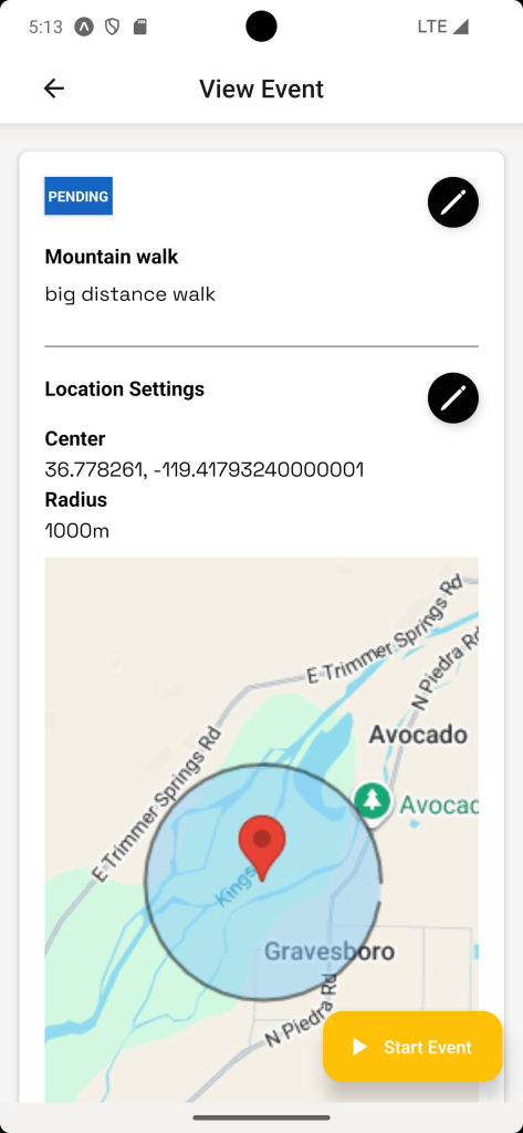
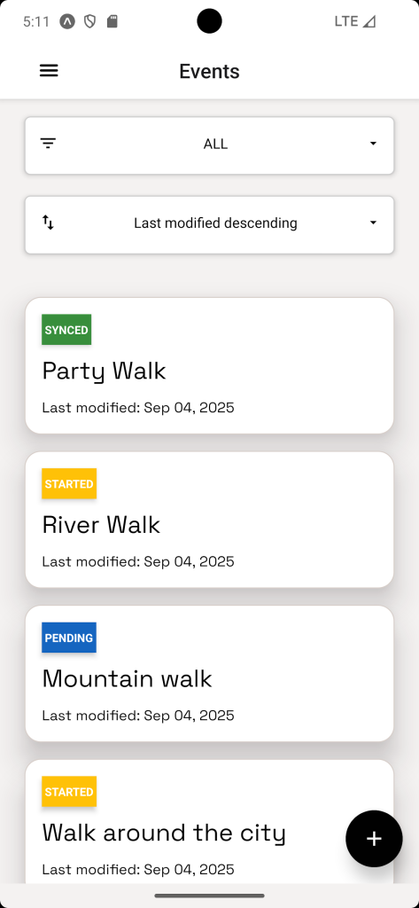
The application allows users to record their walking routes and attach multimedia annotations—including text, photographs, audio recordings, interviews, and videos—to specific locations. These observations are automatically geo-referenced and visualised on a map, allowing users to review, reflect on, and share their experiences through a web-based platform.
Mazomos Routes supports commons-oriented heritage practices by enabling communities, researchers, and cultural organisations to document and interpret landscapes collectively. By combining embodied walking practices with digital tools, the app facilitates bottom-up processes of heritage-making, co-curation, and knowledge sharing. It allows everyday experiences of place to become part of a shared resource, contributing to a living archive of landscape meanings that can inform research, education, and community engagement.
Originally developed to support ethnographic research methods such as walk-and-talk interviews, the platform has since evolved into a flexible tool that can be used by GLAM institutions, researchers, educators, local communities, and walking groups to record and share their relationship with cultural and natural environments.
Through this approach, Mazomos Routes contributes to the broader GLAMMONS vision of cultural heritage as a commons, where knowledge, memories, and experiences are collaboratively produced, curated, and shared.